Early Fire Detection: What FireSat Gets Right About Execution
Earth Fire Alliance just put satellites in orbit that can spot a wildfire as small as the footprint of two parking spaces. The most impressive part is what they are doing on the ground.


I recently got to sit in on a presentation from Ann Kapusta, who leads early adoption and community engagement at Earth Fire Alliance. The subject was FireSat, a satellite constellation built for one job: finding wildfires while they are still small enough to stop.
I walked out thinking about two things. The first was the satellites, which are genuinely remarkable. The second was everything that has to happen on the ground for those satellites to matter. That second part is where I spend most of my working life, so let me take them in order.
A fire the size of a classroom
Most of the satellites the world uses to watch fire were not built for it. They see the planet in coarse pixels and pass over any given spot a few times a day. By the time a fire shows up clearly, it has often already spread over multiple acres.
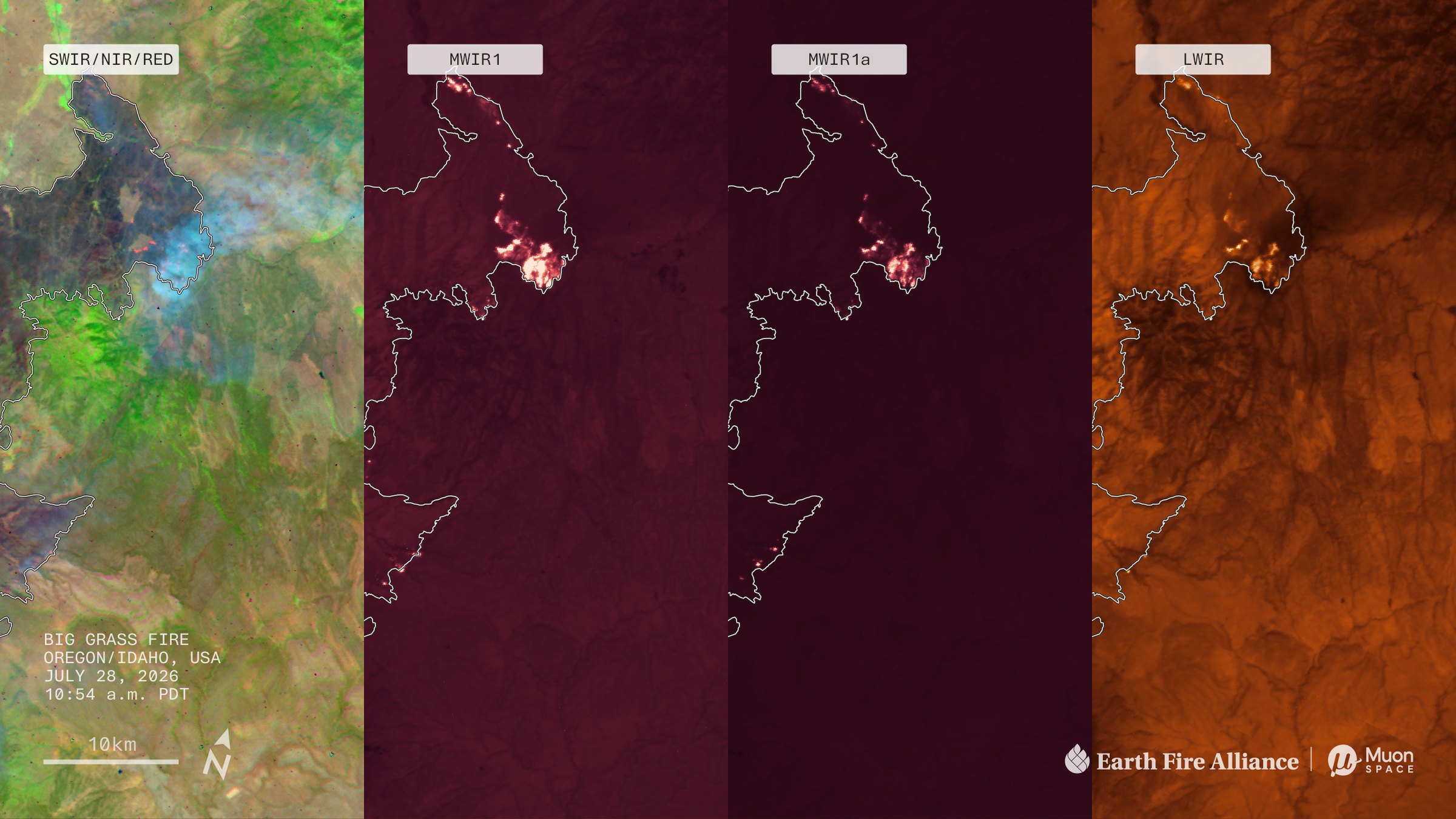
FireSat is designed to detect a fire roughly 5 meters by 5 meters. About the size of a typical classroom or the footprint of two parking spaces. Its infrared sensors detect the heat signature, and AI can be applied to compare each spot against earlier imagery, local weather, and nearby infrastructure to determine whether it is actually looking at a fire or at something that just happens to be hot.
When the full constellation of about 50 satellites is built out in the early 2030s, it will look at every point on Earth every 20 minutes or less.
This is not a someday project. Here is where it stands:
- March 2025
The first FireSat, a protoflight built by Muon Space, launched to prove the design. Its early images could tell active fire apart from ground that had already burned.
- July 7, 2026
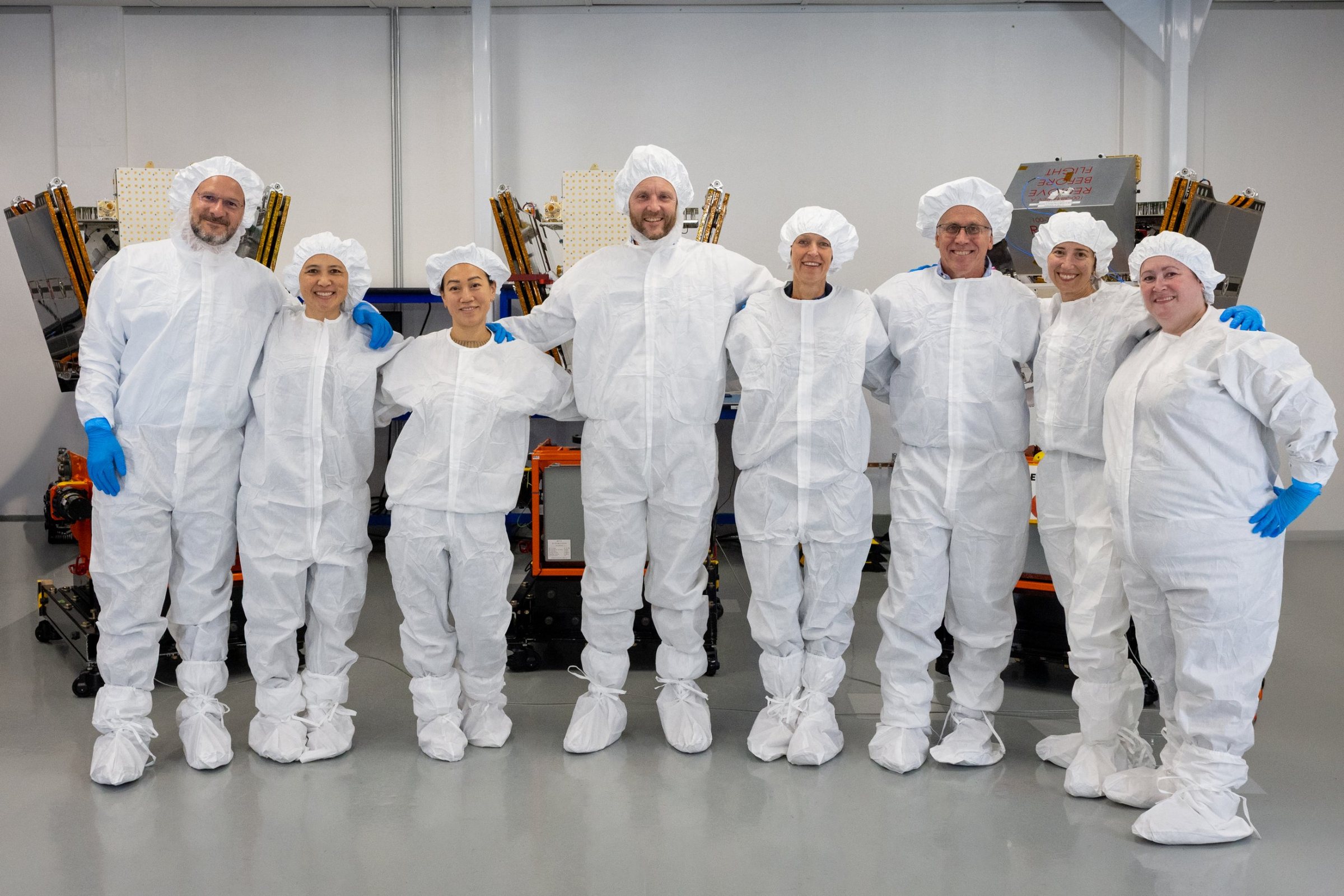
The first three operational FireSats launched from Vandenberg Space Force Base in California aboard SpaceX's Transporter-17 mission and are already returning stunning data.
- Q4 2026
Operational data starts flowing to Earth Fire Alliance's Early Adopters at least twice a day, covering six of the most fire-prone regions on the planet.
That last milestone is this quarter.
Built with the people who will use it
Here is what separates FireSat from a lot of impressive technology that never quite lands.
The satellites were shaped with input from hundreds of firefighters and fire scientists. Earth Fire Alliance runs an Early Adopter Program, and its first cohort in 2025 brought in eight fire agencies across three continents. The program has since grown to 18 participants across 5 continents. The approach is simple and a little humble: learn how each agency actually works, then partner with that agency's existing technology providers to get FireSat data into the systems they already use. Nobody is asking an incident commander to log into one more portal in the middle of a fire.
In August, the Alliance signed on with Deepfire to build the cloud infrastructure that moves data from orbit to the people on the ground, built on open data standards so any agency system that ingests structured fire information can receive it.
That work does not make for dramatic launch footage. It is also the work that decides whether a satellite in orbit leads to a response crew arriving at the right location at the right time. Ann's title literally has the word "adoption" in it, and I think that says a lot about how this organization sees its role in the global fire community.
A launch is not the finish line
FireSat is funded through what Earth Fire Alliance calls a P4 model: public, private, and philanthropic partners working together.
Earth Fire Alliance has raised more than $69 million in funding to date. Google.org has contributed more than $15 million. The Bezos Earth Fund announced a $26 million grant in June. The Gordon and Betty Moore Foundation has been involved from the start, contributing $12.5 million.
In other words, a lot of this is grant money. And Earth Fire Alliance is treating it exactly the way I wish every grantee would.
The grant world loves the award. There is a press release, a photo, a check that is too big to fit in anyone's car. Then the real work starts, and it is quieter, slower, and far more important. For FireSat, the satellites reaching orbit is the award letter. The execution is fire agencies getting reliable data, twice a day, in the tools they already trust, and then every 20 minutes as the constellation grows. The milestones are public. The deliverables are specific. The people doing the work know exactly who it is for.
That is the whole reason we built TideWatch.
Winning the money is the wave. Doing what you said you would do with it is the tide.
Catch fires while they're small
I'm not going to pretend a late progress report is a wildfire. It isn't. Nobody evacuates over a missing receipt.
But the logic carries over. Most grant problems start out classroom-sized. A drawdown a week behind. A subrecipient report that did not come in. A budget line drifting a few percent off plan. Spotted early, each one is a five-minute fix. Left alone, it grows into the audit finding that eats your summer.
FireSat's promise is that nobody will have to wait until a fire is a few acres wide to know it exists. That is a good standard for a lot of things.
Thank you
Thank you to Ann Kapusta and the Earth Fire Alliance team for taking the time to share this work. If you are interested in learning more, visit earthfirealliance.org.
For the rest of us, it is a good reminder that the most important part of any funded project happens after the ribbon is cut.
Catch the classroom-sized problems while they're small.
TideWatch watches every award, drawdown, subrecipient report, and budget line, so the five-minute fix gets made in month two instead of in the audit.
Subscribe to the Journal
Get the latest insights on grant management, compliance best practices, and field notes from the watch, delivered to your inbox.